
GIS Analyst with 4+ years' experience supporting utility and government mapping programs through production of imagery and spatial data. Skilled in ArcGIS Pro, SQL queries and Python-supported automation to perform data conversion, geoprocessing and quality assurance. Experienced in coordinating technical deliverables and training team members. Leveraging a diverse background in GIS, philosophy and permaculture design, I bring a unique systems-thinking approach to solving geographic problems in urban development, utility infrastructure and environmental policy.
I am an avid recreational outdoors enthusiast 🚲 🥾 I use maps to explore the world. My diverse interests include permaculture design, ecology, cartography and geography.
About Me
Present GIS interests:
Analyzing NAIP imagery and Lidar elevation products to study the distribution of vegetation in the region around Portland Metro, OR.
Develop an analysis product that maps the distribution of shade cast by trees in buffered regions within my Area of Interest. Evaluate the quality of shade using an index, in consideration to the day length and duration of time an area is in shade for on that day.
Goal of this project:
Evaluate the local benefit on buildings' temperature to growing tree canopy providing shade in urban heat islands. Apply passive cooling principles to understand this GIS analysis in relation to a permaculture based, sustainably managed property.
Other learning interests: Python and SQL
Recreational Maps and Adventure Media

Admiring The Forest Tree Canopy
Trees such as these shown here, douglas fir and western hemlock, are known to have mutualistic and generous relationships with the network of mycelium in the soil around them. Through the mycelial network, trees are even able to send and receive nutrients to other trees nearby! Trees have been observed in scientific experiments sharing nutrients with stressed or shaded nearby trees. I feel awe and respect for these forest relationships. Not only that, but I look to ecological awareness for guidance of how to live, and I think ecology can provide a blueprint for how to cultivate a society. What would life be like if we imitated the forests, or more generically, imitated the ecology of our local watershed? Look up the terms "biomimicry" and "bioregionalism" for some ideas of where the possibilities can go.
Larch Mountain Ride, May 21, 2022
32.6 mi, 3342 ft elevation gain.Every detail matters — we select sustainable, high-performance materials that ensure beauty and durability.


Mt Hood as seen from Sherrard Point, 4406 ft. I feel awe and respect evoked by this mountain everytime I get to view the place.
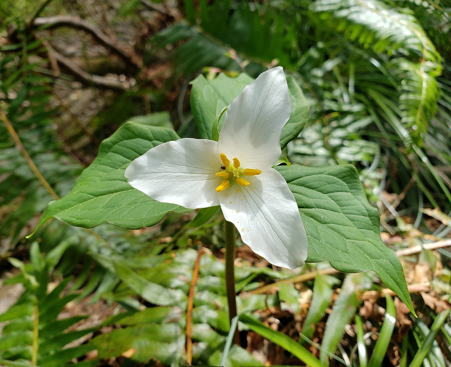
Trillium flower in bloom on Larch Mountain.
From the very large
to the very small
I appreciate, admire and love the beauty found across the natural world.
This dam, most like constructed by beaver, holds in water so that a pond may exist at this spot. The benefit of the structure holding in water extends far beyond the local pond. This slows the flow of water and helps to stabilize the whole watershed.

Panoramic View of the Expanse of Larch Mountain Geography
These pictures and maps show a sample of what motivates me to go outside and connect with spirit in nature and wilderness. I use maps to plan logistics for the ride, and to memorialize the journey after.